 The heat waves bring smoke. This is partly because of the inversion effect, and partly because, when there is a large high pressure in the interior of BC, the winds are light and come from the northeast to southeast quarter, and this is where the fires are right now.
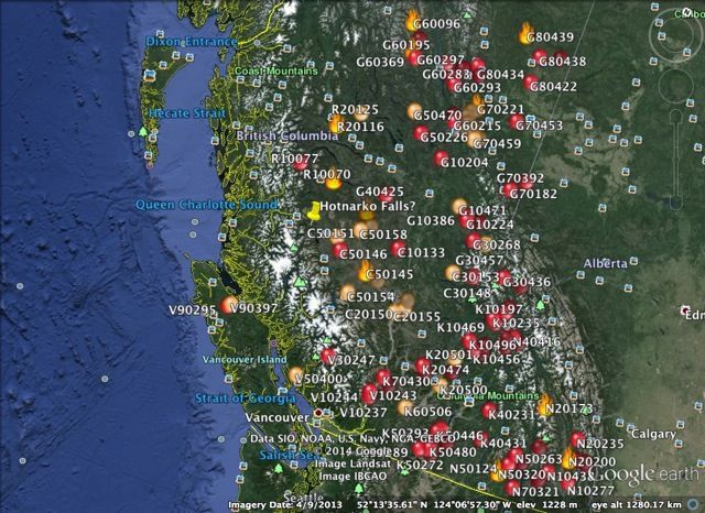
Here is the Google Earth active fire map for BC on 15 August 2014. Round orange balls mean new fires: red mean active, and flames mean a fire of note. (Ginty Creek is not too far from the thumbtack just to the left of the middle.)
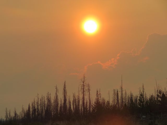
 The daily temperatures reached 33C again; the smoke exacerbated the heat because of the greenhouse effect. I could work only for a few hours in the morning before retiring inside, and even there it was too hot to do much. The gloom from the smoke was depressing. So when the wind switched and it blew cooler from the southwest for a couple of days, it was like looking at a whole new world.
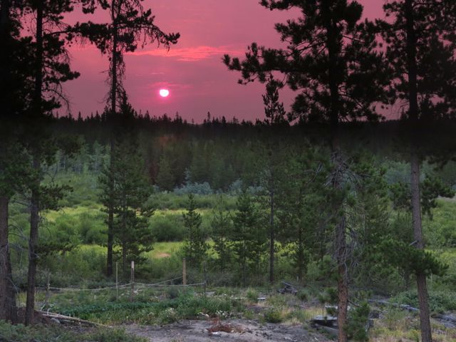
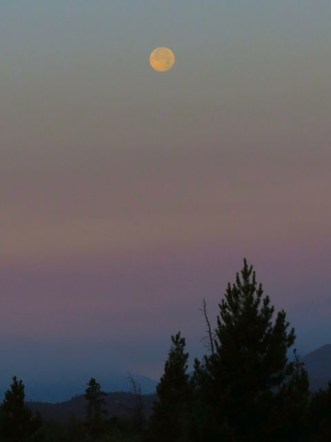
 The clear days coincided with the full moon
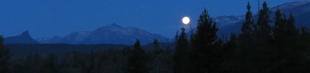
Moon on a stick.
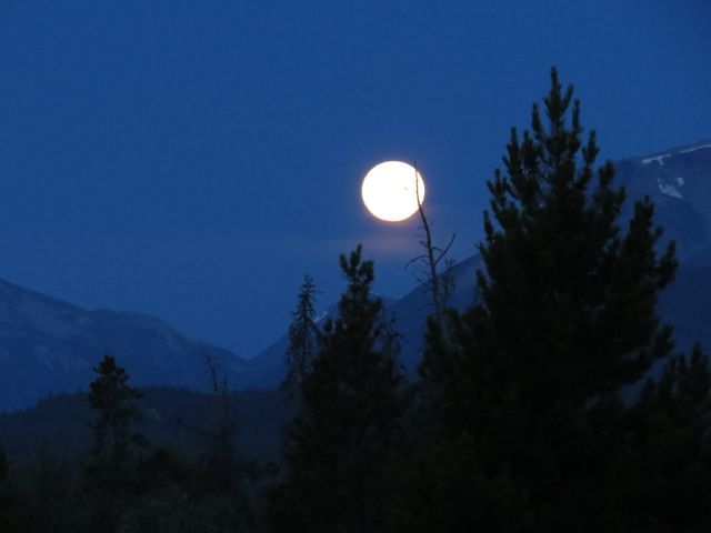
It set before any colour appeared on the mountains.
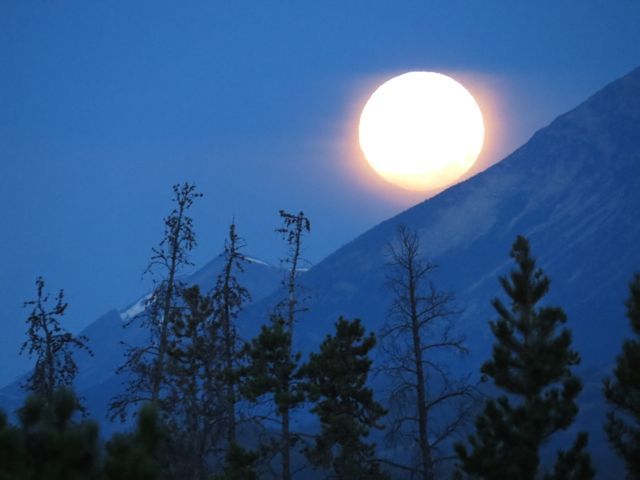
The next day I had my camera ready, hoping for the perfect shot, but the wind had changed again and it was too smokey.
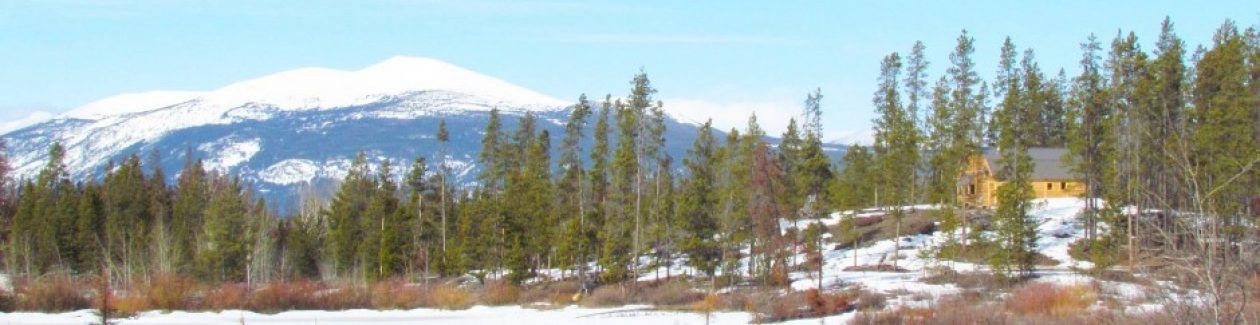
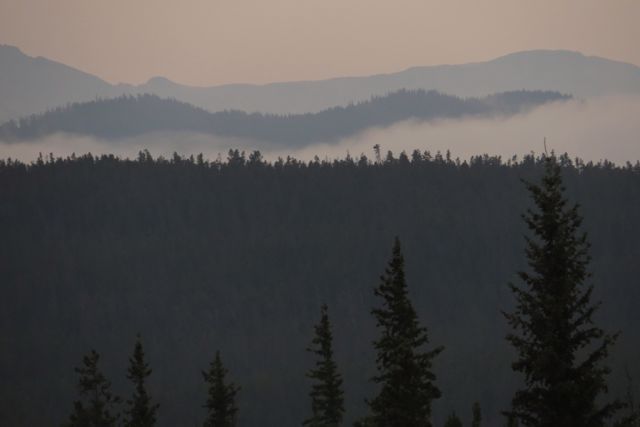
 Soon, the mountains disappeared.
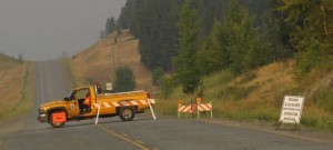
I was planning to go to town to pick up a wwoofer, but Highway 20 was closed because of a fire about 2/3 of the way into town.
Wildfire Management Branch is responding to a wildfire currently estimated at 600 hectares that is burning 14 km west of Bull Canyon, near Highway 20. Airtankers and helicopters supported ground personnel and heavy equipment late into the evening of Monday, Aug 11. The wildfire displayed aggressive fire behaviour yesterday and challenged the fire retardant lines.
Objective today is to build a guard to contain the blaze. Today, 5 helicopters and heavy equipment are working to assist firefighters in establishing a guard around the wildfire. Crews will be closely monitoring the weather today as there is the potential for extreme fire behaviour, winds and warm temperatures. Cooler temperatures and rain are expected later in the week.
Highway 20 was closed temporarily as a result of this incident, but has been re-opened 24 km west of Alexis Creek. Traffic on the highway continues to be impacted with limited access. Flaggers are in the area directing traffic. Depending on the fire’s activity, the highway could be closed again. Up-to-date information will be available on www.drivebc.ca
Further updates will be sent as necessary.
Sandra Wagner
Communications Specialist
Forests, Lands & Natural Resource Operations
BC Wildfire Management Branch | Cariboo Fire Centre
Most BC fires are triggered by lightening, but this one was caused by “person.” People have deliberately started fires in that area before so they can get work as firefighters. The above notice was published 12th August: I wanted to drive into town on 14th. On the 13th we heard that the road was in fact closed, but a detour – which was actually the old highway – was in operation.
I was on the road early. Sunrise happened about an hour along the way.
 I soon reached the detour.
 The old road ran through a couple of farms. It was narrow and windy and pretty, but very slow to drive.
 I spent the night at 100 Mile House, where we had a tremendous thunderstorm and heavy rain. Something was struck nearby with a huge explosion. I expected the whole world to erupt in red flames. But apart from a short loss of power, nothing was changed. 100 Mile and Williams Lake are much lusher than Kleena Kleene – they had a good snow cover and a wet spring. The weeds around my friends’ house were waist high. I wondered if the rain would spread west.
In Williams Lake, I found out how the “person” started the fire. Apparently a truck lost a wheel and the hub was dragged along the highway, showering sparks, and igniting six fires.
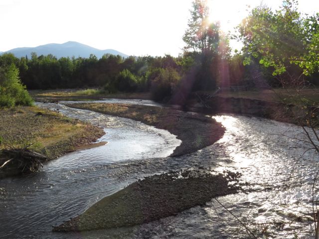
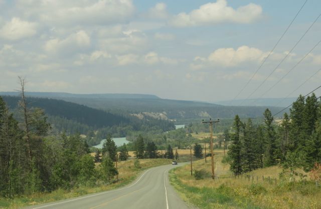
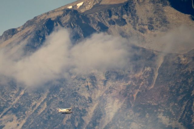
East of the fire on Highway 20, the smoke was not too bad on the way home. That is the Chilko River in the back ground: it is glacier fed, which gives it the blue colour, and it was full. All those glaciers must be melting like mad in the heat.
 I was most surprised to find that Highway 20 was open. The extent of the fire was 880 hectares, but in fact it was obviously very spotty. It was still smouldering in several places.
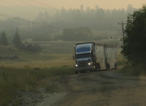
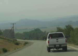
 Because the wind was behind me, west of the fire the smoke thickened.
 At home, I could not see the mountains. But during the night the wind changed again and the morning brought a beautiful sight.
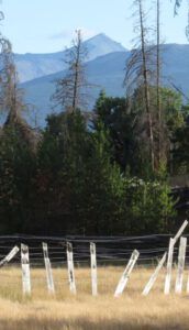
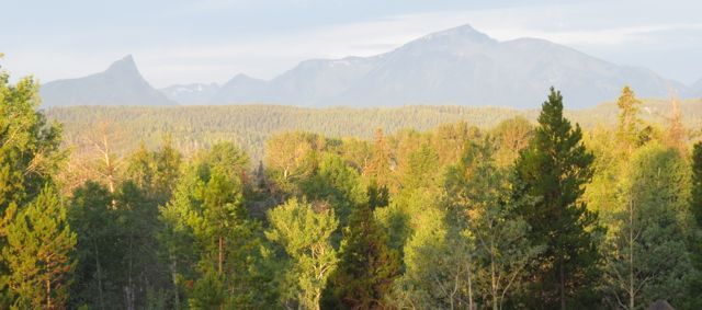
 And, even though a couple of new fires have started a little closer to Ginty Creek, soon the mountains were perfectly clear.
Judging by the tracks on my road, there had been a very small sprinkle of rain while I had gone. Nowhere near as much as happened during the 10-minute rain a couple of weeks ago. The forecast is for cooler weather and more chance of sprinkles. Let us keep our fingers crossed.