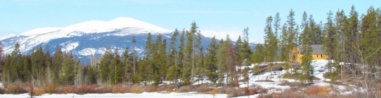
Yes, that was actually it’s name – called after the creek that ran into the valley there; and the creek was named after the mountain behind. Climbers have always liked to use fanciful names. But the name for the fire could not have been more apt.
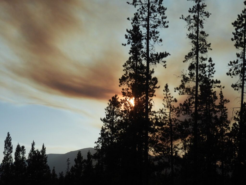
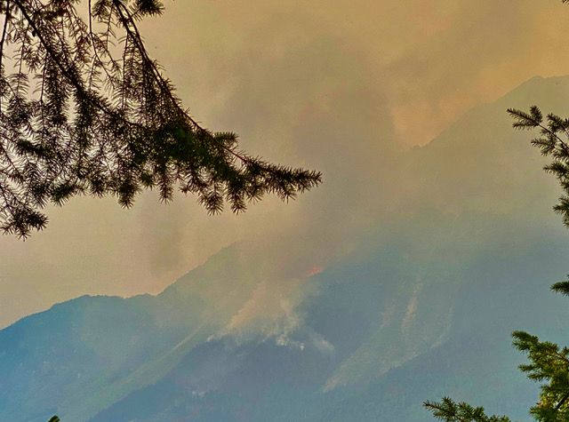
One evening I saw a fresh slab of smoke amongst the clouds near sundown.
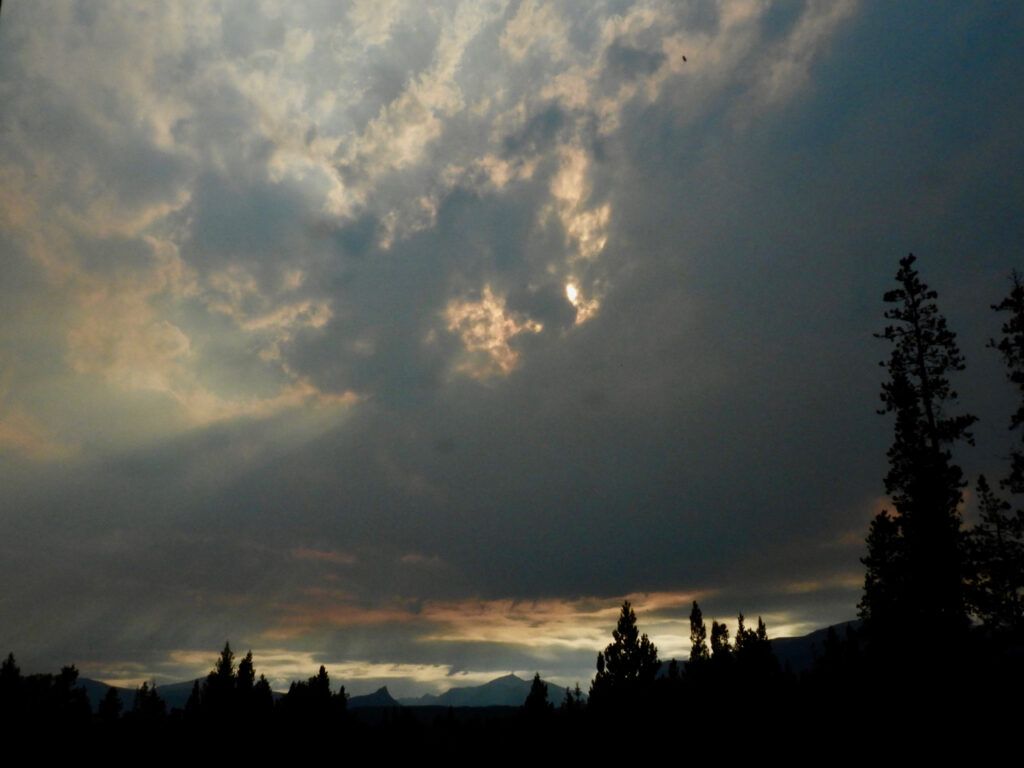
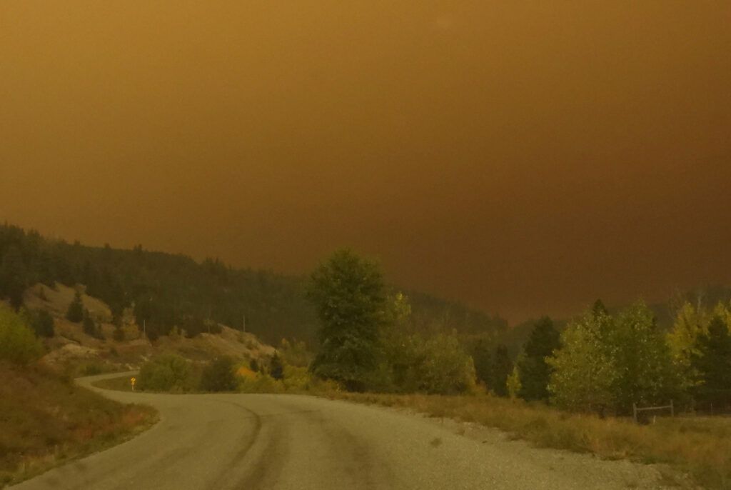
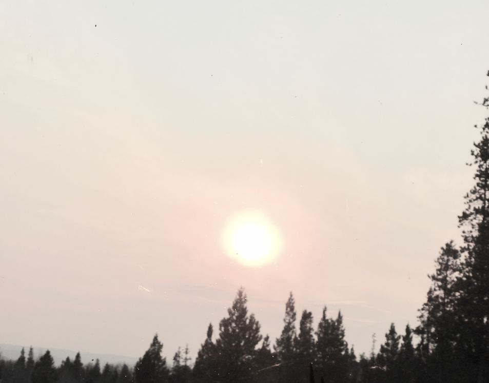
Summers are generally windy, but this one has been relatively calm, which is why so much smoke has filtered down from the north. However, by the next morning a strong southeast wind got up and we were having a major smoke event.
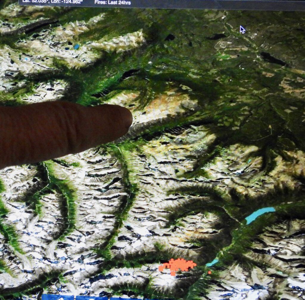
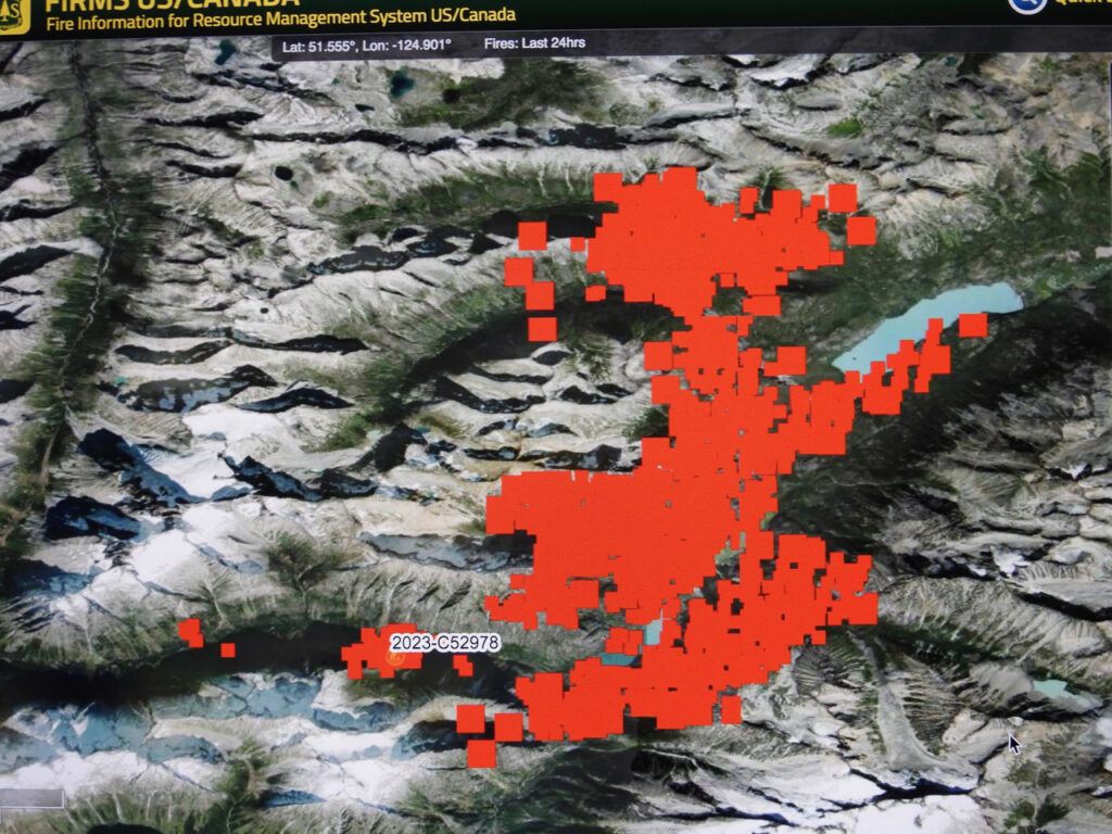
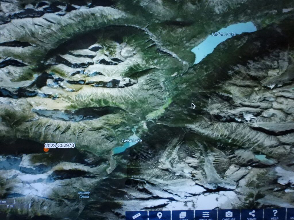
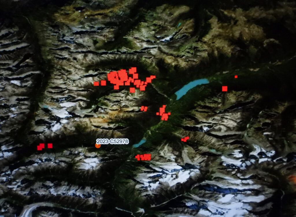
Perkins Peak is in there somewhere. I checked FIRMS to try and find where it was.
The cursor is on my place. My finger is on Perkins Peak. The fire was 60 km away far down West Branch. The bottom lake is Twist Lake; the upper is Middle Lake. In between them is a ranch that is very remote – a long way from the nearest neighbour.
During the night, the wind veered slightly, which meant the bulk of the smoke was slightly south of us stretching far along the horizon. Made for an eerie sunrise.
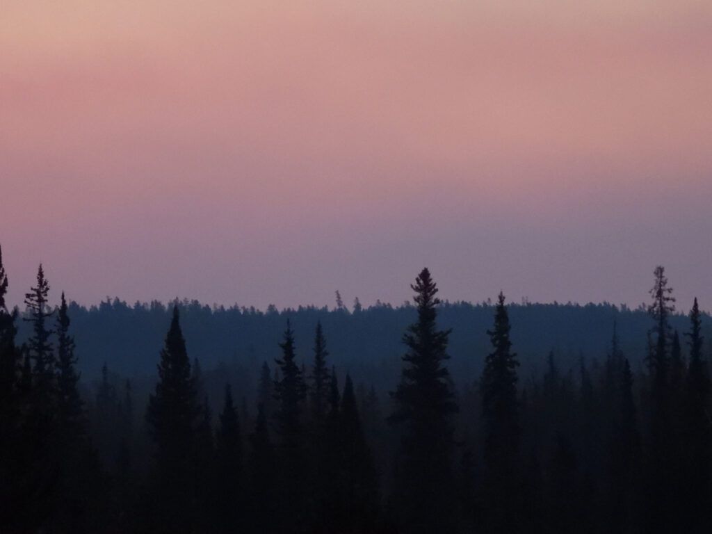
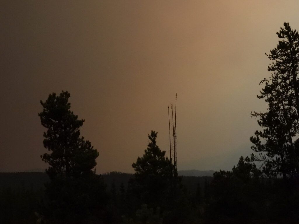
For a while it was as if we were in the penumbra of an eclipse. To the north the sky was blue; to the south was a wall of smoke. In between we had a smoke haze. The wind continued to veer a point or two and we got a clear evening.
The wind was quite strong again and suddenly we were visited with a burst of smoke from the long dormant fires near Lonesome lake.
The Hell Raving Fire now looked like this.
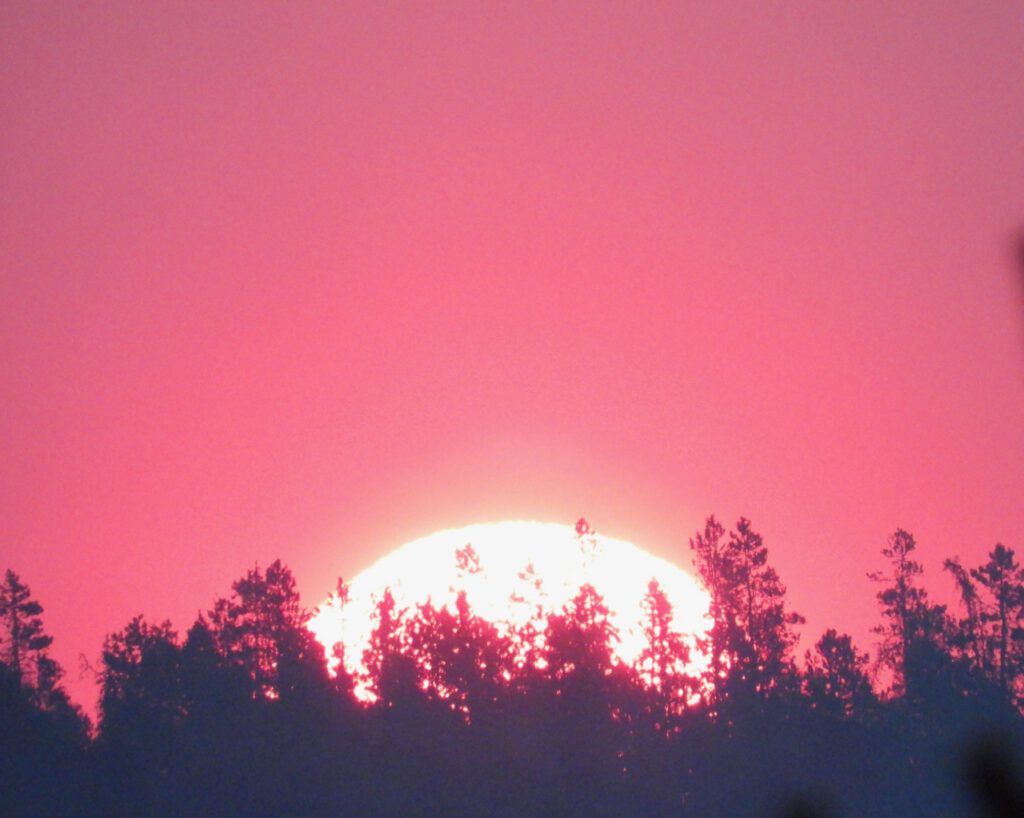
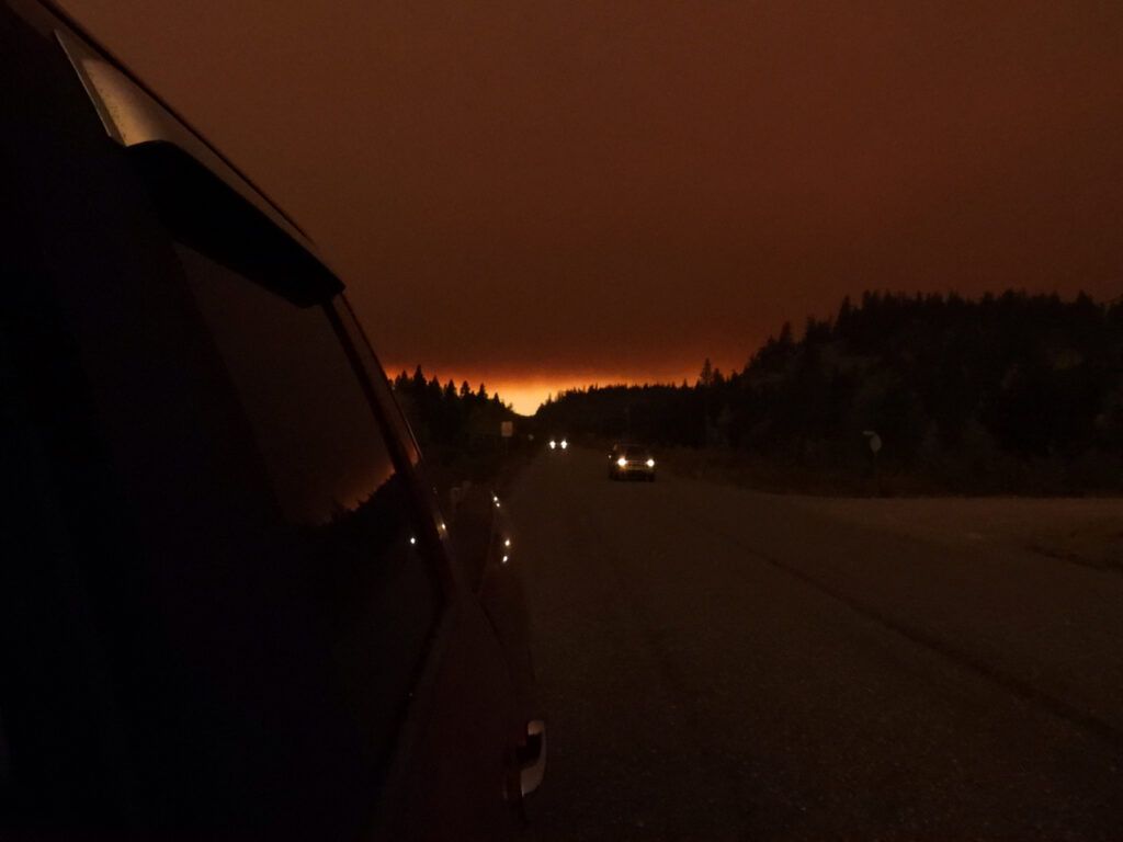
The wind blew all night. The following day there was a school event at Tatla Lke. Around home everything was hazy blue. But the huge slab of smoke lay across the highway about 2/3 of the way to Tatla.
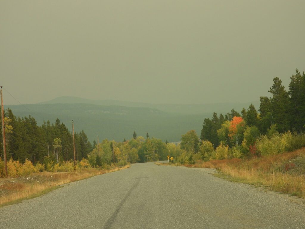
Looking back from Tatla
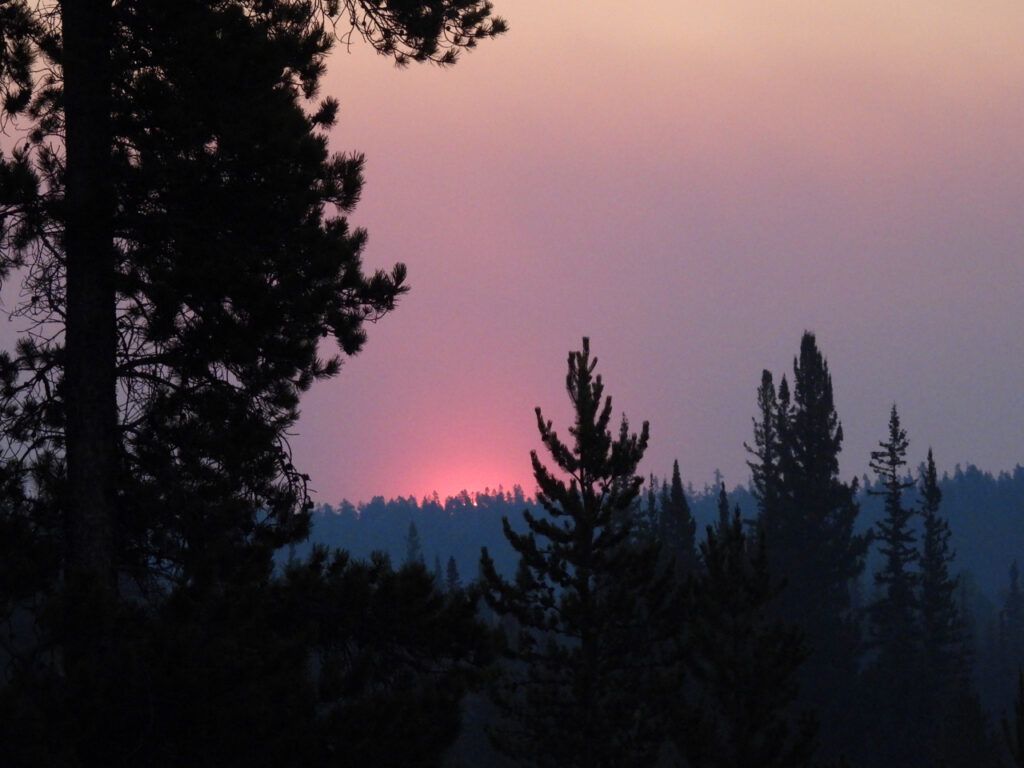
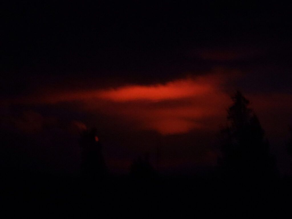
It was past sundown when I arrived home and as I turned onto my road I could see red in the sky. I thought it might be remnants of sunset, but it kept pulsing bright then dimming. It was the fire reflection in the sky – 60 km away.
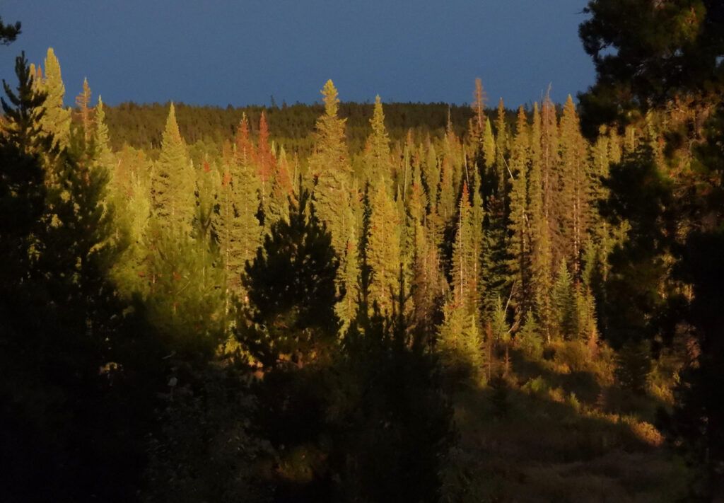
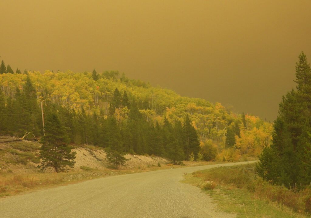
The following day I went to Tatla again. Dead calm and the smoke was more diffuse. A fine snow of white ash fell.
I found out scraps of news regarding the ranch. Unbelievably, the house and machine shed was saved. Locals drove the cattle on foot 40 km north to Tatla Lake. But some fences and a hay corral with 200 round bales was destroyed. All the winter supply for the ranch animals. There are not many places locally suitable for hay growing. Most people who buy get theirs from Alberta. But in this drought year, hay crops have been very poor everywhere, and round bales were fetching $600 apiece – if you could get them. The ranch where the cows are staying has no winter feed. I have not heard yet what the ranchers will do.
Now 4 large helicopters were flying overhead every day, trailing their buckets.
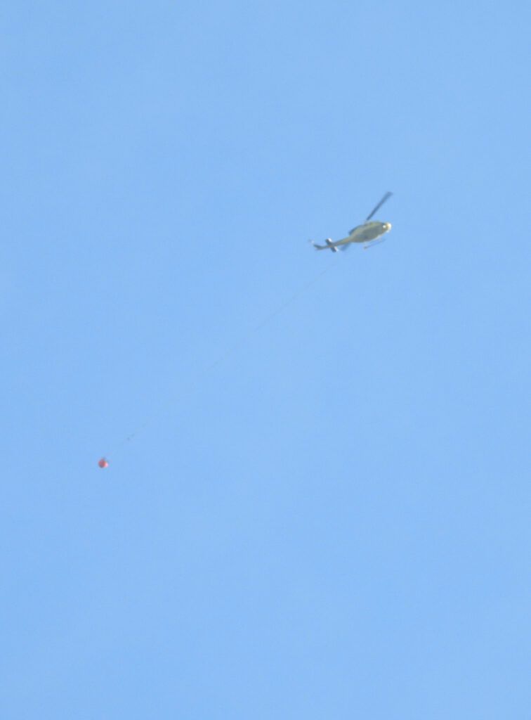
They must have been based at Nimpo Lake or Anahim. White Saddle Air is situated about 20 km north of the ranch and no doubt they would be working, but the fire was racing north so quickly that they would be busy dealing with their own place. They were soon placed under evacuation order but of course they did not go.
Then some rain happened. We even got a bit but quite a lot fell in the southern valleys. FIRMS showed the fire had quieted down.
But that fire would still be burning all over the place. FIRMS shows heat. Here is a picture of the fire opposite my friends’ place in the Bella Coola Valley. It has been active since early summer, but it has never once registered on FIRMS.
About 3 weeks after the blow-up, I saw this.
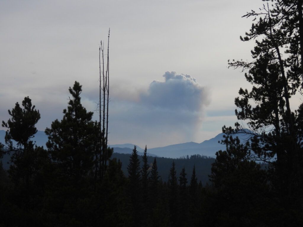
A pyrocumulus cloud like this indicates considerable heat. Once more we had a strong southeast wind and the consequent smoke event.
And FIRMS is showing hotspots all over the place again.
We are well into October and the fire season is far from over.